Trail and Fell Running Section
proudly presents
![]()
Rowbotham's Round Rotherham International Trail Event
of 80 km, 50 miles
on
Saturday, 3rd October, 2026
from our
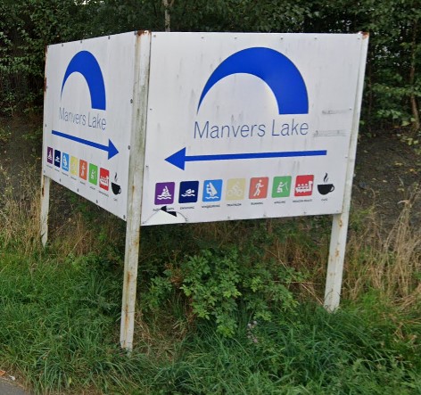
Event Centre: MWBC, viz
the Manvers
Waterfront Boat Club
An undulating route with, overall, 800 m of climb through the South Yorkshire Forest
(The area designated as The
South Yorkshire Forest is mainly rural land rather than a vast
area of woodland)
Entries 2026 - see information below
2025 winners


Emily Cowper-Coles, DPFR (7:18:03) and
Kevin Hoult, Calder Valley Fell Runners (7:19:27)
Photos by Henry Marston at Old Denaby
Preliminary Results 2025
From RaceTek:
Select Course Filter Solo or Team (for Relay)
Expanded 2025 results
including
Number of Completions,
3-person Team result (in Solo)
Results analysis,
Reports,
etc
Start List 2025 Includes recorded number of Finishes, planned start time and home town (in case you want to share transport). Intermittently updated.
Thank you all for attending, as participant, supporter or one of our invaluable volunteers, at Manvers or one of the 7 checkpoints. Despite the unpromising weather, everything seemed to go well, with only occasional bursts of heavy rain.
Information for 2026
We are grateful to our sponsors:
Andrew Rodgers Wealth Management
WRD Builders Sheffield
Specialists in New Builds | Extensions | Kitchens | Bathrooms | Loft
Conversions
who will provide general support
Individual:
General start bands, to be split in broad bands as last year
Starts:
Slower Walkers around 4 am (aim 16 to 20 hours)
Walkers and Joggers around 6 am (aim 12 to 16/17 hours)
Runners around 7 am (expecting to finish within 12 hours)
Note, if you start earlier than appropriate and you arrive at a checkpoint before its official opening time, you will have to wait.
RelayTeams of 2 to 8 people, change each
checkpoint
8 am (mass start)
More information about Individual and Relay
with links to Fabian on our Entries page
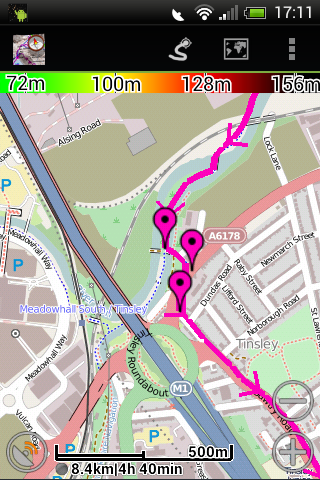
Maps and route description
No changes yet identified for 2026!
2024 maps, description and GPS are valid
Follow the route on your SmartPhone, GPS, SatNav, etc
Recent changes (to
route and administration)
(incuding changes over teh years for returnees who have missed a few years)
![]() Our
Facebook
page
for up-to date reports of all kinds
Our
Facebook
page
for up-to date reports of all kinds
Event Centre - location and start procedure
Navigation / route finding for participants and supporters
Changes to adminstration and route (summary)
The strip map
written description, etc
Last year's versions of map and written description are available. This
year's versions are developed as any changes are identified.
The use of Sat Nav for the route - beta version now available!
GPS data for download to your GPS unit, watch, phone or other device
Supporter's route round checkpoints, with postcodes for SatNav users!
FAQs - answers to common questions raised about the event, including recce suggestions
The RRR is licensed by the TRA (Trail Running Association), a National Association of UK Athletics, and held under UKA rules
![]()
View the route on Google Earth, with the 2007 route
If you find links that fail, please let me know,
Problems about this page
Click on 'I am a human', answer question(s) and then click on the Show it!
button. You should be able to click on the email address to start an email.
Click on the Back button to go back to the web page.
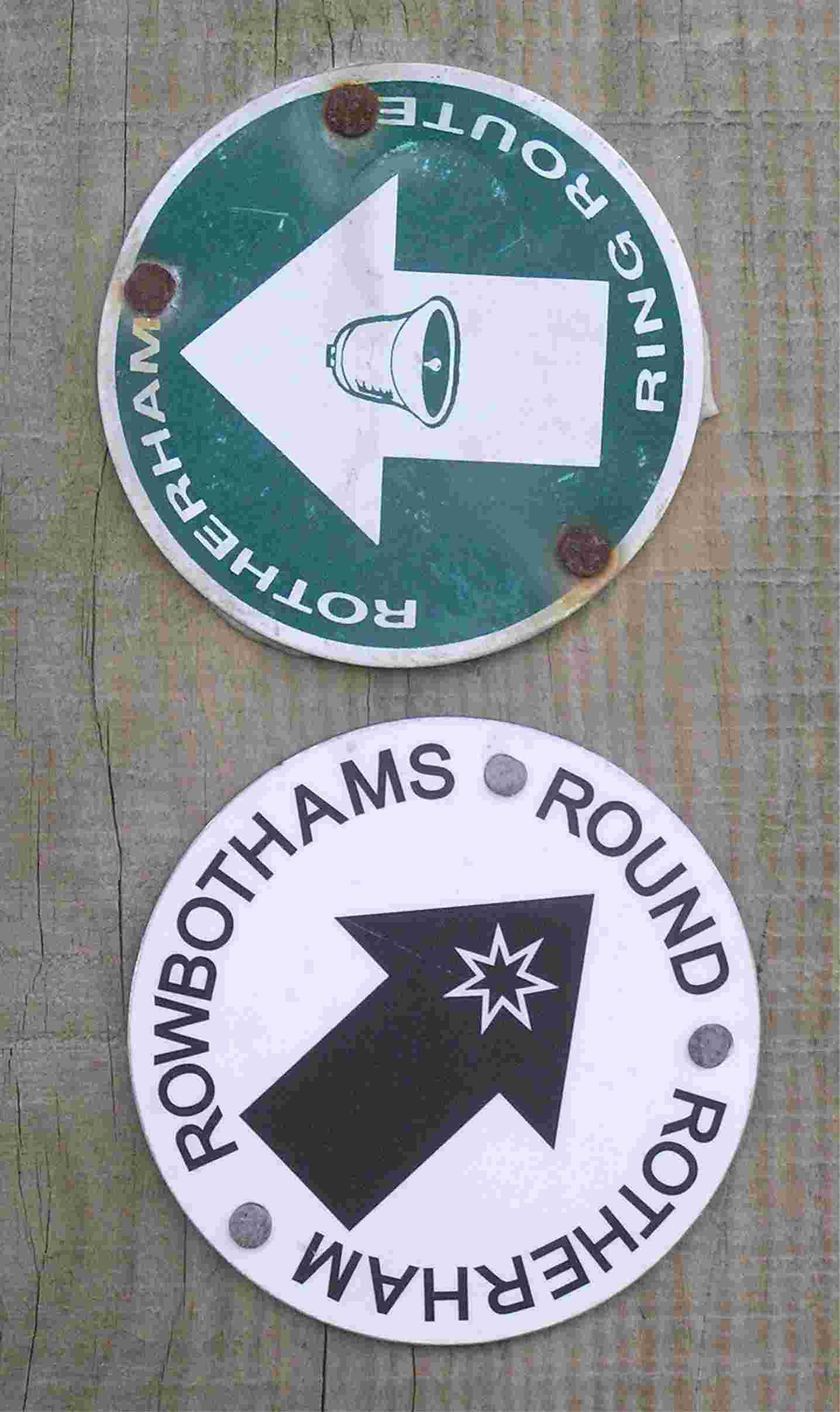
The Origin of Ralph Rowbotham's Round
Rotherham Route:
The Original route description
The RRR is a qualifying event for next year's LDWA 100-mile event. The 4 am start now provides a 20 hour time limit as required for 50 mile LDWA events.
The RRR is often used as a training event for the Marathon de Sables
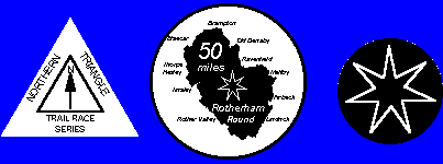
It has been an event in the Runfurther race series
Historical record from 1983 updated to 2025 as tables
Historic Results Page
(detailed and analysed results plus reports 1983 to 2025)
![]()
The Round Rotherham is included as an event recorded on
DUV, the German
Ultramarathon Association. It's based in Germany, but records
results of Ultra events (>45 km) worldwide - over 7000 events each year.
Round Rotherham results are presented
here on their site.
![]() Follow
us on our Facebook
page
Follow
us on our Facebook
page
![]()
with updates, and reports of problems (which we seek to resolve) from recce runs
Rotherham has a parkrun, at Clifton Park, unfortunately clashing with this event one day a year - plenty of other opportunities!